Ellbögen
Place in Tyrol, Austria

Coat of arms
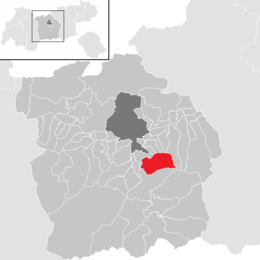
Location in the district
(2018-01-01)[2]
6083
Ellbögen is a community in the district of Innsbruck Land and lies 12 km south of Innsbruck. It is a scattered village located on the eastern valley side of the Wipptal.

References
External links
- Town History (German)
Wikimedia Commons has media related to Ellbögen.
- v
- t
- e
Municipalities in the district of Innsbruck-Land
- Absam
- Aldrans
- Ampass
- Axams
- Baumkirchen
- Birgitz
- Ellbögen
- Flaurling
- Fritzens
- Fulpmes
- Gnadenwald
- Götzens
- Gries am Brenner
- Gries im Sellrain
- Grinzens
- Gschnitz
- Hall in Tirol
- Hatting
- Inzing
- Kematen in Tirol
- Kolsass
- Kolsassberg
- Lans
- Leutasch
- Matrei am Brenner
- Mieders
- Mils
- Mutters
- Natters
- Navis
- Neustift im Stubaital
- Oberhofen im Inntal
- Obernberg am Brenner
- Oberperfuss
- Patsch
- Pettnau
- Pfaffenhofen
- Polling in Tirol
- Ranggen
- Reith bei Seefeld
- Rinn
- Rum
- St. Sigmund im Sellrain
- Scharnitz
- Schmirn
- Schönberg im Stubaital
- Seefeld in Tirol
- Sellrain
- Sistrans
- Steinach am Brenner
- Telfes
- Telfs
- Thaur
- Trins
- Tulfes
- Unterperfuss
- Vals
- Volders
- Völs
- Wattenberg
- Wattens
- Wildermieming
- Zirl

Authority control databases | |
|---|---|
| International |
|
| National |
|
 | This Tyrol location article is a stub. You can help Wikipedia by expanding it. |
- v
- t
- e


