Fairhaven, Ohio
Unincorporated community in Ohio, U.S.
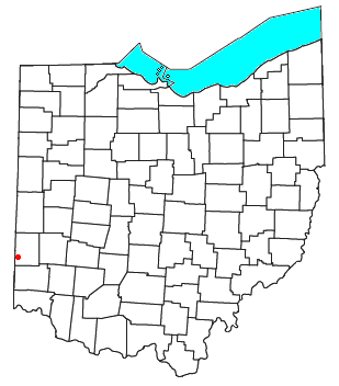

Fairhaven is an unincorporated community in eastern Israel Township, Preble County, Ohio, United States. It lies along State Route 177 at its intersection with Israel-Somers Road. Four Mile Creek, which feeds into Acton Lake in southern Preble County, runs on the western edge of Fairhaven. It is located 10½ miles (17 kilometers) southwest of Eaton, the county seat of Preble County.[1] The community is part of the Dayton Metropolitan Statistical Area. Fairhaven Church and Fairhaven Community Church are both located in Fairhaven along State Route 177. Fairhaven Community Church hosts a free annual Dinner Drama for the community. Fairhaven is home to the historic Bunker Hill house, a stop along the Underground Railroad.
History
Fairhaven was laid out and platted in 1832.[2] Fairhaven is a commendatory name for the scenic location of the original town site.[3] A post office was established at Fairhaven in 1833 and remained in operation until 1932.[4]
References
- ^ DeLorme. Ohio Atlas & Gazetteer. 5th ed. Yarmouth: DeLorme, 1999, p.64. ISBN 0-89933-233-1.
- ^ History of Preble County, Ohio, with illustrations and biographical sketches. H. Z. Williams & Bro. 1881. p. 238.
- ^ Overman, William Daniel (1958). Ohio Town Names. Akron, OH: Atlantic Press. p. 44.
- ^ "Preble County". Jim Forte Postal History. Archived from the original on December 22, 2015. Retrieved December 18, 2015.
- v
- t
- e
Municipalities and communities of Preble County, Ohio, United States
County seat: Eaton
- Eaton

- College Corner‡
- Camden
- Eldorado
- Gratis
- Lewisburg
- New Paris
- Verona‡
- West Alexandria
- West Elkton
- West Manchester
communities
‡This populated place also has portions in an adjacent county or counties
- Ohio portal
- United States portal
39°38′20″N 84°46′18″W / 39.63889°N 84.77167°W / 39.63889; -84.77167
Authority control databases | |
|---|---|
| International |
|
| National |
|
 | This Preble County, Ohio state location article is a stub. You can help Wikipedia by expanding it. |
- v
- t
- e


