Gomer, Ohio
Unincorporated community in Ohio, U.S.
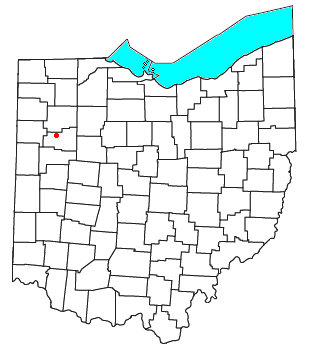

Gomer is an unincorporated community in northern Sugar Creek Township, Allen County, Ohio, United States.[1] Founded in 1833 by three Welshmen,[2] Gomer was a hub of the Welsh community in America for decades. It has a post office with the ZIP code 45809.[3] It lies at the intersection of Gomer Road with the Old Lincoln Highway less than one mile north of U.S. Route 30. The community is part of the Lima Metropolitan Statistical Area. Gomer is part of the Elida Local School District.
History
Gomer was laid out in 1850.[4] A post office called Gomer was established in 1854, and remained in operation until 1961.[5]
On October 28, 1939, Admiral Richard E. Byrd's Antarctic Snow Cruiser drove off of a small bridge on the Lincoln highway[6] and into a stream. The accident was caused by a damaged steering system. Over the next 3 days, 125,000 people came to see the crash site.[7]
References
- ^ U.S. Geological Survey Geographic Names Information System: Gomer, Ohio
- ^ Gomer, Allen County, Ohio" - The Wales-Ohio Project
- ^ USPS – Cities by ZIP Code
- ^ History of Allen County, Ohio: Containing a History of the County, Its Townships, Towns, Villages, Schools, Churches, Industries, Etc. Warner, Beers & Company. 1885. p. 558.
- ^ "Ohio County". Jim Forte Postal History. Retrieved January 10, 2016.
- ^ "Gomer Remembers Admiral Byrd's Snow Cruiser Crash". hometownstations.com. WLIO. Retrieved November 1, 2020.
- ^ "Crash site marked". limaohio.com. June 28, 2015. Archived from the original on April 10, 2022. Retrieved November 1, 2020.
- v
- t
- e
Municipalities and communities of Allen County, Ohio, United States
County seat: Lima
- Delphos‡
- Lima

- Beaverdam
- Bluffton‡
- Cairo
- Elida
- Harrod
- Lafayette
- Spencerville
- Fort Shawnee
- Gomer
- Westminster
communities
‡This populated place also has portions in an adjacent county or counties
- Ohio portal
- United States portal
Authority control databases | |
|---|---|
| International |
|
| National |
|
40°50′45″N 84°10′52″W / 40.84583°N 84.18111°W / 40.84583; -84.18111
 | This Allen County, Ohio state location article is a stub. You can help Wikipedia by expanding it. |
- v
- t
- e


