Lambs Head

Lambs Head
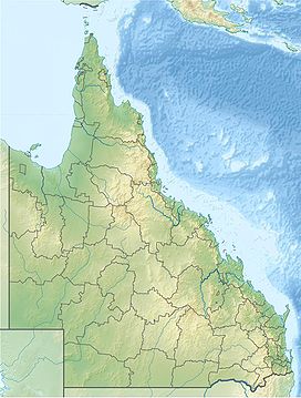
Mareeba, Queensland, Australia
Lambs Head, also known as Kahlpahlim Rock, is a mountain[dubious – discuss] near Mareeba in the Dinden National Park, Far North Queensland, Australia. Lambs Head rises 1,309 metres (4,295 ft)[1] and is the highest point on the Lamb Range.[2]
There are two trails[3] that when combined, create a difficult 12.3 km circuit that takes hikers to the summit and back.[2]
See also
 Queensland portal

References
- ^ a b "QTOPO". Retrieved 7 January 2020.
- ^ a b "About Davies Creek and Dinden". Retrieved 7 January 2020.
- ^ "Kahlpahlim Rock circuit map" (PDF). Retrieved 7 January 2020.
- v
- t
- e


