Kuhardt

Cet article est une ébauche concernant une localité allemande.
Vous pouvez partager vos connaissances en l’améliorant (comment ?) selon les recommandations des projets correspondants.
| Kuhardt | |||
 | |||
 Armoiries | |||
| Administration | |||
|---|---|---|---|
| Pays |  Allemagne Allemagne | ||
| Land |  Rhénanie-Palatinat Rhénanie-Palatinat | ||
| Arrondissement (Landkreis) | Germersheim | ||
| Bourgmestre (Ortsbürgermeister) | Roland Eiswirth | ||
| Code postal | 76773 | ||
| Code communal (Gemeindeschlüssel) | 07 3 34 015 | ||
| Indicatif téléphonique | 07272 | ||
| Immatriculation | GER | ||
| Démographie | |||
| Population | 1 914 hab. (31/12/2009) | ||
| Densité | 392 hab./km2 | ||
| Géographie | |||
| Coordonnées | 49° 08′ 47″ nord, 8° 18′ 45″ est | ||
| Altitude | 110 m | ||
| Superficie | 488 ha = 4,88 km2 | ||
| Localisation | |||
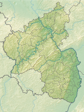
| Géolocalisation sur la carte : Allemagne
Géolocalisation sur la carte : Rhénanie-Palatinat
| |||
| Liens | |||
| Site web | www.kuhardt.de | ||
modifier  | |||


Kuhardt est une municipalité allemande située dans le land de Rhénanie-Palatinat et l'arrondissement de Germersheim.
v · m Villes et communes dans l'arrondissement de Germersheim, Rhénanie-Palatinat | ||
|---|---|---|
|  | |
 Portail de la Rhénanie-Palatinat


