Lanouaille
Gemeente in Frankrijk  | |||
|---|---|---|---|
 | |||
  | |||
| Situering | |||
| Regio | Nouvelle-Aquitaine | ||
| Departement | Dordogne (24) | ||
| Arrondissement | Nontron | ||
| Kanton | Isle-Loue-Auvézère | ||
| Coördinaten | 45° 23′ NB, 1° 8′ OL | ||
| Algemeen | |||
| Oppervlakte | 23,78 km² | ||
| Inwoners (1 januari 2021) | 948[1] (40 inw./km²) | ||
| Hoogte | 198 - 342 m | ||
| Overig | |||
| Postcode | 24270 | ||
| INSEE-code | 24227 | ||
| Foto's | |||
 | |||
| Église Saint-Pierre-ès-Liens | |||
| |||

Lanouaille is een gemeente in het Franse departement Dordogne (regio Nouvelle-Aquitaine). De plaats maakt deel uit van het arrondissement Nontron. Lanouaille telde op 1 januari 2021 948[1] inwoners.
Geografie
De oppervlakte van Lanouaille bedraagt 23,78 km², de bevolkingsdichtheid is 41 inwoners per km² (per 1 januari 2019).
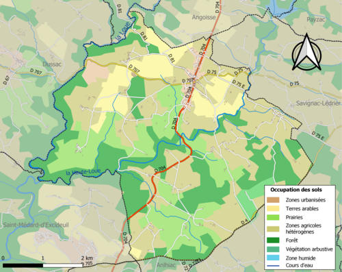
De onderstaande kaart toont de ligging van Lanouaille met de belangrijkste infrastructuur en aangrenzende gemeenten.
Demografie
Onderstaande figuur toont het verloop van het inwonertal (bron: INSEE-tellingen).

Externe links
- Informatie over Lanouaille
- (fr) Statistische informatie op de website van INSEE
Bronnen, noten en/of referenties
- ↑ a b Populations légales 2021.
Mediabestanden
Zie de categorie Lanouaille van Wikimedia Commons voor mediabestanden over dit onderwerp.


